BG-Map Feature Article
|
BG-Map 2005 - New Features and Improvements |
|
The
latest version of BG-Map, BG-Map 2005, has been released. Here are highlights of some of the new
features in this release: [BG-Map] [Facilities Management] [Visitors QuickFinder] BG-Map New Features and Improvements Ask
Egbert the Expert This is a new help utility that
answers basic questions about how to use BG-Map and directs you to the
correct screens to perform specific functions. Show all
Plants of a Name It’s now much easier to display
the locations of all plants of a given name. In “Look Up Zoom to a Plant” and “Snapshot Book
Map”, you can select multiple plants or all plants of a name or genus, and
display all on the map simultaneously. Improvements
to “Relative Measurements” When using “Relative
Measurements” to locate plants, BG-Map now remembers the 2 reference points
so you don’t have to repeatedly enter them. Image
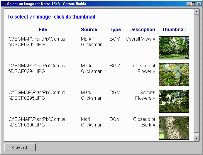
Thumbnails When selecting an image to
view, BG-Map now displays thumbnails of each image. Click on a thumbnail to select. Utility
for Showing All Defined Views A new utility allows you to
simultaneously display the outlines of all Defined Views along with their
names. Improved
Display for “List Plant” The display for “List Plant” is
clearer, with improved use of fonts and word wrapping. Words whose definitions are contained
in the BG-Map glossary are hyperlinked to their definitions. Square
Bracket No Longer Required for Partial Name Searches When searching for mapped
plants by entering a name or partial name, you no longer have to end the
search string with a square bracket]. Improvements
to Plant Lists - “Unmapped Plants” When listing “all” unmapped
plants, locations can now be excluded, the list is alphabetized, and there is
no longer a page limit. When listing
unmapped plants in a location, the list is now alphabetized. When listing unmapped plants by
genus, the display of the popup genera list has been greatly speeded up. No More
Black Command Window When starting BG-Map, the black
command window no longer appears.
Only the BG-Map and AutoCAD windows appear. Group
Outline Mapping with GPS It’s now possible to easily map
group plantings using a GPS or a total station that is not supported by the
Total Station Interface. Simplified
Process for Converting and Correcting Field Data When correcting accession numbers,
you can now re-convert the data without again selecting “Convert” from the
menu. When converting field
data, you can print directly from the preview screen. Also, a confirmation message is
posted if no errors are found. New
Feature - Insert All Plants With Converted Field Data into Map Simultaneously This feature allows you to
automatically insert into the map plants that have been surveyed using a
total station or GPS. Paper
Sizes for Book Maps Can Contain Quotation Marks When defining paper sizes for
Book Maps, paper sizes that contain quotation marks (such as 8-1/2” x 11”)
can now be used. Decimal
Points Permitted in Defined View Names Defined View names can now
contain decimal points, making them easier to associate with BG-BASE Location
codes. Glossary
Definitions Can Be Edited It is now possible to edit the
definitions that appear in the BG-Map Glossary No Limit
on Image Description Length There is no longer a limit to
the length of the path or description that can be stored for an image. Facilities Management New Features and
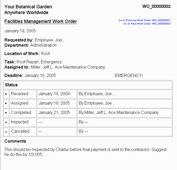
Improvements New Work
Orders Generate work orders for
maintenance work and repairs.
Track work order status.
Link work orders to Facilities Management Objects. Save work orders in HTML format so
they can be viewed and printed using any web browser on a network or intranet. New
Utility to Create Objects from an Excel Spreadsheet This utility allows you to
quickly create new Facilities Management Objects by importing data from an
Excel spreadsheet or comma-delimited file. New
Inventories The Objects data entry window
now contains an inventory tab in which you can store inventory lists of
equipment or materials, such as power tools, pesticides, etc. Object search and reporting has been
expanded to include inventories. Type
Cloning Object Types can now be cloned
to create new Types without starting from scratch. Simplified
Creation of Subtypes and Tasks Subtypes and Maintenance Tasks
can now be created directly from the Types data entry window. Also Classes can be assigned to Types
directly from the Types data entry window. Depth
Recording for Below-Ground Objects Objects can be designated as
“underground”, and their buried depth can be recorded. Visitors QUICKFinder Kiosk New Features and
Improvements Improved Appearance Page layouts and fonts have
been greatly improved. New
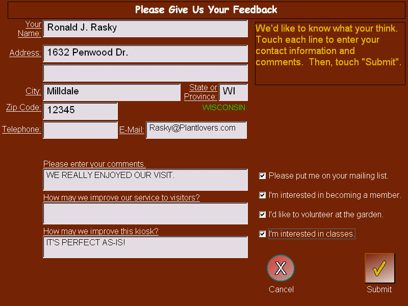
Visitor Feedback Feature Use the feedback feature to
gather mailing list data, increase membership, and generate volunteer
interest, as well as to obtain valuable responses as to the quality of
visitor's experiences and their suggestions for improvements. New
Memorials Feature You may designate a plant or
Topic as a memorial or “in honor of”, and allow visitors to search for it by
the name of the person, it’s in memory or honor of. Improved
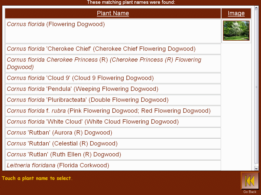
Popup Lists Popup lists of plants, names,
etc. now fill the screen and have larger graphical buttons. Topics
Can Link to Web Pages Topics can now link directly to
internet or intranet web pages.
In effect, VQF can now act as a web browser. Image
Thumbnails When selecting an image to view,
VQF now displays thumbnails of each image. Touch a thumbnail to select. Results
Sorted by Distance When displaying a list of
plants of the same name, the results are sorted by distance, closest plants
first. Topic
Maps Now Printable You may allow visitors to print
maps associated with “All Topics”, “Memorial Topics Only”, or “No Topics”. Plant
Descriptions Now Printable You may allow visitors to print
plant descriptions in addition to maps. Glossary
Definitions Hyperlinked When
displaying plant descriptions, glossary words are hyperlinked. Simply touch a word to display its
definition. See
Locations of All Plants of Same Name When viewing a map on-screen, a
visitor may view or print a map showing the locations of all plants of the
same name. New Options for Display of Unmapped Plants VQF can now display unmapped plants that do or do not have
a corresponding defined view. Parent and Child Topics You can specify a Parent Topic to which another Topic
"belongs". In this
way, you can create a hierarchy of topics and subtopics. Touch Logo to Return to Home Page Touching the garden logo now returns the visitor to the
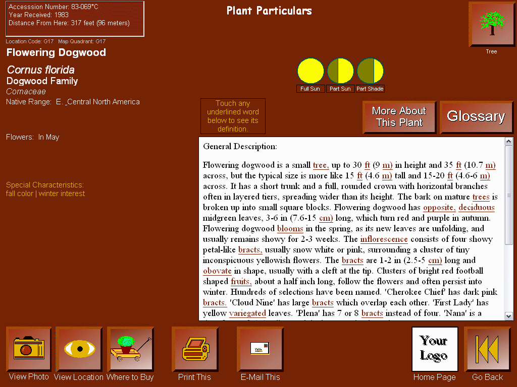
home page Additional Information Displayed The plant information screen shows additional information,
including deciduous/evergreen (with clickable icon), sunlight requirements
(BG-BASE 6+ only), special characteristics, and current and ultimate height and
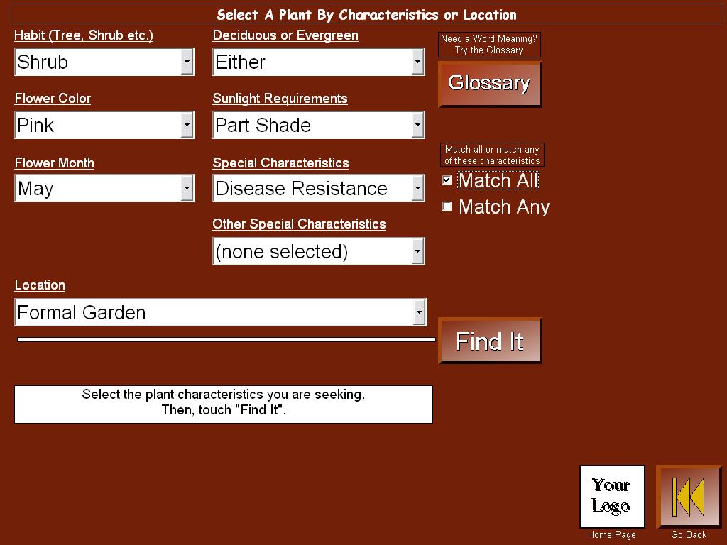
spread. Search on Plant Characteristics Visitors can now find a plant based on its characteristics
- habit, flower color, flower month, deciduous or evergreen, sunlight requirements,
and special characteristics. |
|
Updated February 3, 2005 |

