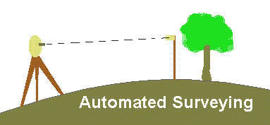
Choose the Total Station Interface for fast and highly accurate surveying using electronic total station laser measuring instruments.
Or, choose the GPS Interface to use the latest in satellite global positioning technology to speed the process of mapping your plant collections.
© 2023 Glicksman Associates, Inc. All rights reserved


 Choose the
  Or, choose the